Journal · Published
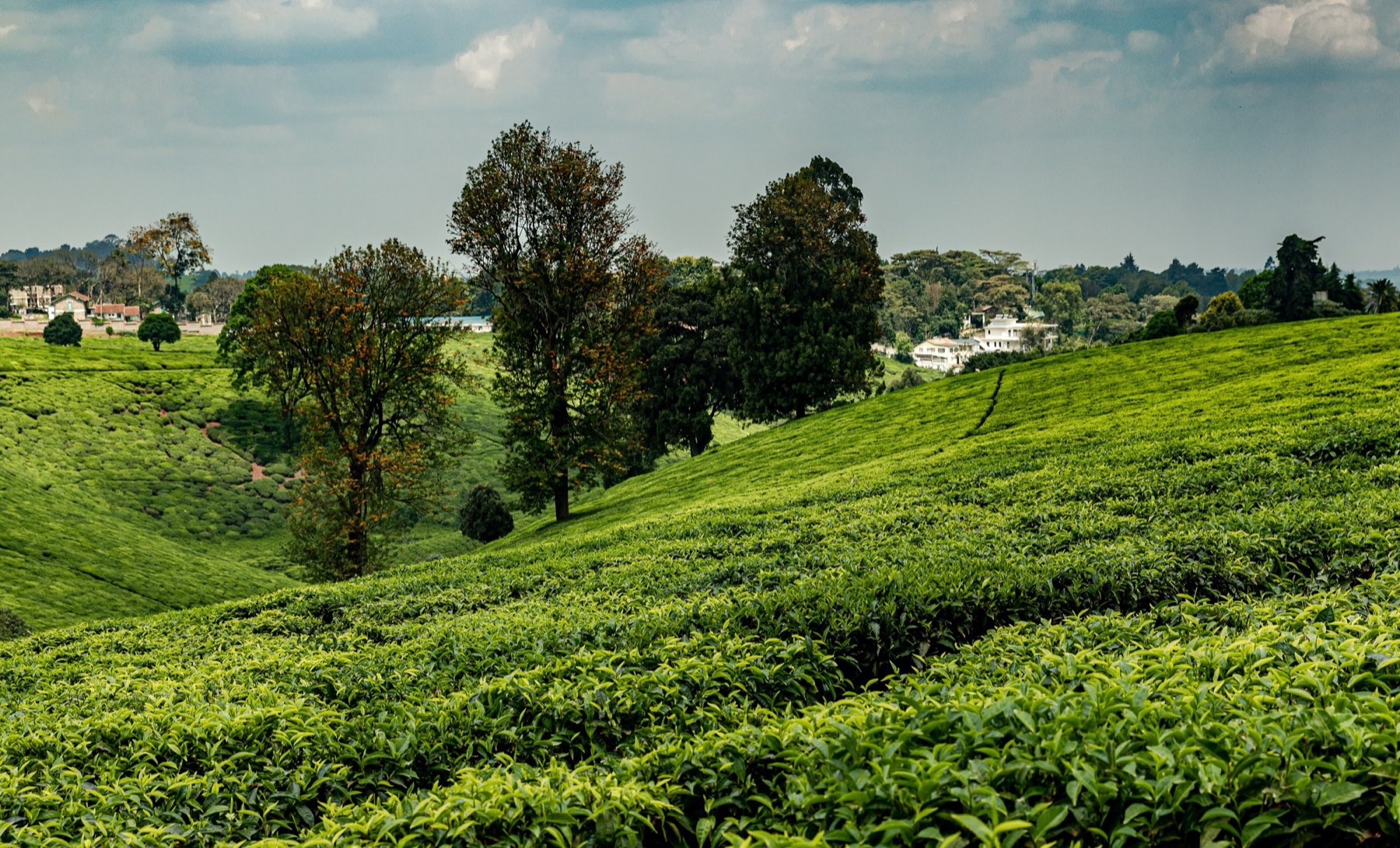
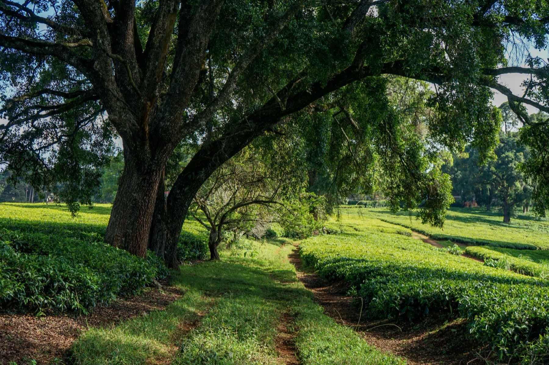
Tigoni is about 30 km north-west of Nairobi city centre, in Limuru, Kiambu County. The drive takes 45 minutes on a clear morning and up to an hour and a half at peak times. Here are the routes, the public transport options and the timing that makes the trip easy.
Route 1: Limuru Road (the direct way)
From the city centre, head north on Limuru Road past Muthaiga and the Village Market, through Ruaka and up past Banana Hill. The road climbs steadily, the suburbs give way to farms, and you start to see tea on the hillsides as you approach Tigoni.
This is the shortest route and the one that feels most like a countryside drive. The weak point is Ruaka, where the road narrows and traffic backs up at peak times. On a weekend morning before 8:00 it moves well.
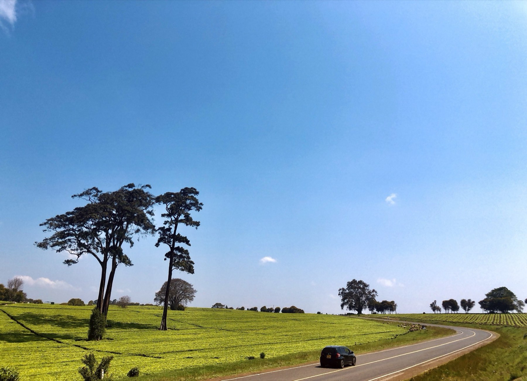
Route 2: Waiyaki Way and the Nakuru highway
Take Waiyaki Way west through Westlands and Kangemi towards Kikuyu, then continue onto the Nairobi–Nakuru highway (A104). Turn off towards Limuru town and follow the signs towards Tigoni.
It is longer in kilometres, but the dual carriageway usually flows better than Limuru Road. It is a good choice if you are coming from the west of Nairobi, or if you plan to continue to the Rift Valley viewpoints afterwards.
By matatu and taxi
Matatus to Limuru leave from central Nairobi throughout the day. The ride takes about an hour, depending on traffic and stops. From Limuru town, take a taxi, a ride-hailing car or a boda boda for the last few kilometres to Tigoni.
Tigoni's farms, cafés and meeting points are spread along rural roads, so agree onward transport before you set off, and save the driver's number for the return journey. Ride-hailing cars are easy to get from Nairobi but can be slower to find in Tigoni itself.
When to leave
Traffic shapes the day more than distance does. These timings work for most visits:
- Weekends: leave Nairobi before 8:00 and start back before 16:00.
- Weekdays: avoid 6:30–9:00 and 16:30–19:30 on both routes.
- Rainy seasons (March–May, October–December): allow extra time, as rain slows traffic and some rural roads get muddy.
The last few kilometres
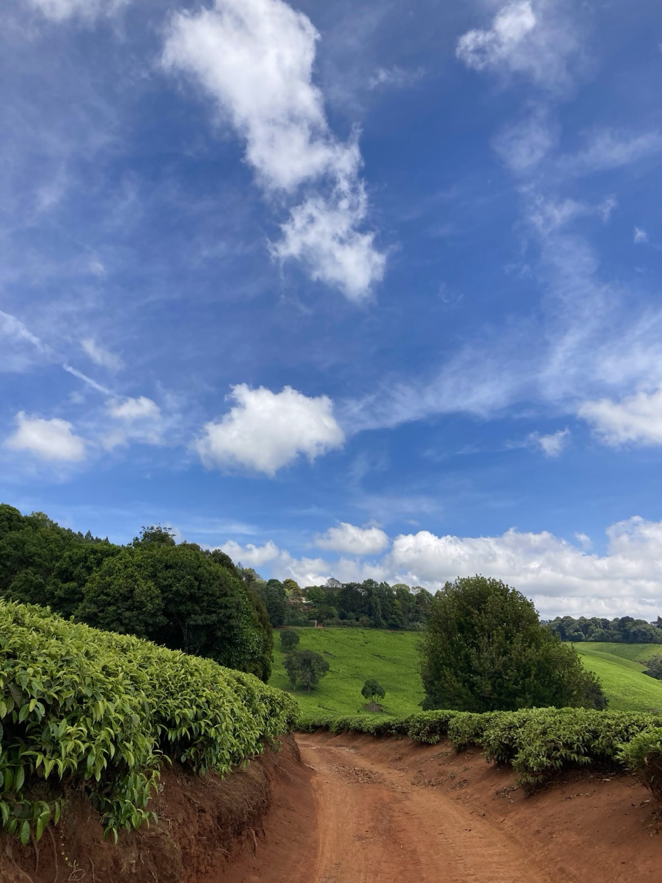
Once you leave the main roads, many routes into Tigoni are narrow tarmac or murram (gravel) lanes between tea fields. They are fine in a normal car in dry weather. After heavy rain, some red-earth tracks become slippery, so check with your host or guide which way to come in.
Phone signal is generally good, but map apps sometimes route you down farm tracks. If you are coming for one of our tours, we send the exact meeting point and directions on WhatsApp.
Combining the drive with other stops
If you take the Nakuru highway, it is a short detour to the Rift Valley viewpoints on the old Naivasha road below Limuru. On Limuru Road, the stretch through Tigoni has farm shops and roadside stalls selling fresh vegetables, which make a good stop on the way home.